Well, that is the description of skiing today. Here’s the details:
- The snow skied like velvet today. Somewhere between and inch and three inches of snow fell today. Sure, it fell on that firm surface from yesterday, but that new snow made all of the difference. It was grippy in the best ways and fast enough to be very fun.
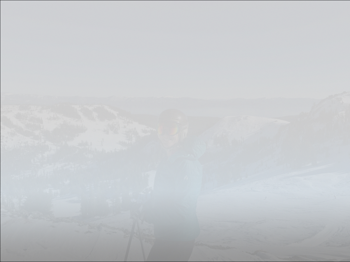
- Anything above Roundhouse was shrouded in fog. One friend described it as the “inside of a ping pong ball”. That’s a perfect description of what it was like as you slid off the ramp at the top of Summit. Fortunately, patrol had put up what was likely a record number of closed signs, bamboo and ribbons guiding people to Alpine Bowl, the only approved way down the mountain.
Snow was not forecast to fall until later in the day today, but I saw it was already falling when I looked at the webcam shortly after 8. I headed to the mountain as quickly as possible and found things to be much better than the forecast would have lead you to believe. Although temperatures did rise a few degrees, and it did get a bit soggy at the base, it did snow pretty much the entire day. More snow is on tap later in the week.
The next two days at Alpine Meadows are forecast to be windy with some potential for wetness.The forecast calls for the potential for some rain and winds to 60 mph. The high temperature at mid-mountain tomorrow is forecast to be 43°. As long as we don’t get torrential rain, this may actually be an okay thing. You may have noted Andy’s post from Monday, showing acres of bulletproof ice. Having this next storm come in warm and then cool into the snow phase overnight Thursday should offer the greatest possibility of that ice layer disappearing, allowing the new snow to bond to the old snow. We’re also hoping that by tomorrow we can start venturing off piste in some areas of the mountain.
Added: Mount Rose has already pre-announced that they will be closed tomorrow due to expected high winds. Most of this wind will likely arrive late in the afternoon and much of it will be downslope winds that will really push windproof areas along Hwy 395. One source noted that winds from this storm could be the strongest in several years. Check lift statuses before leaving the house tomorrow and Thursday!
For Thursday night into Friday, temperatures will crash and NOAA is still calling for 1 to 2 feet of snow through Friday. This would be a very good thing, as the current storm cycle ends with this storm. The top of the mountain would be in pretty good shape as we head into the holiday period. The off piste areas of the lower mountain may still be a little ragged, depending on exact snow levels this week.
